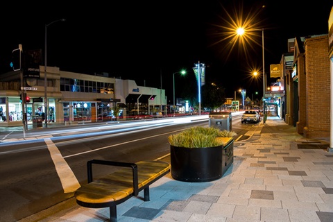
Roads and footpaths
Hobart's road network includes:
- 284 kilometres of sealed roads
- 6 kilometres of unsealed roads
- 412 kilometres of footpaths (mostly asphalt and concrete)
- 67 bridges (mostly concrete and steel structures)
The City of Hobart uses an inspection program that to identify hazards, such as:
- uneven footpath surfaces
- damaged signs
- potholes
- trees overhanging the footpath.
You can report hazards on our roads and footpaths using our online form:
Hazard report form
Roads that are not managed by City of Hobart
State Government
Some roads in Hobart are under the management of the Tasmanian Government. These include:
- Tasman Bridge and Tasman Highway
- Domain Highway, between Tasman Highway and Brooker Avenue
- Brooker Avenue and Brooker Highway
- Davey Street, between Southern Outlet and Brooker Avenue
- Macquarie Street, between Southern Outlet and Brooker Avenue
- Southern Outlet
We are responsible for the nature strips and footpaths beside most of these roads. The exception is the Southern Outlet, which is a Tasmanian Government responsibility.
Please contact Transport Services with enquiries about these roads.
TasPorts
TasPorts manage roads on the Hobart Waterfront that are located on pier structures. This includes:
Please contact TasPorts with any enquiries.
More information
Rights of way
The City is not responsible for rights of way on private land.
The maintenance and operation of these is the responsibility of either:
- the land owner
- those who have right of access over the land.
Unsealed roads
There are six kilometres of unsealed roads within Hobart's boundaries.
Their maintenance is the legal responsibility of the land owners who border the roads.
However, we grade most unsealed roads twice a year. This usually occurs in October and May.
Footpath accessibility
The width and standard of the footpaths in Hobart vary according to the:
- amount of pedestrian use
- geography of the street
- needs of other road users.
In general, the City aims to provide clear pedestrian widths of:
- 1-1.2 metres on low pedestrian volume footpaths in non-commercial areas
- 1.5-1.8 metres on footpaths in commercial areas
- 2.4 metres on high pedestrian volume footpaths (normally in commercial areas).
When appropriate, the City permits:
- street trees
- advertising signboards
- tables and chairs for outdoor dining
- other occupation of the footpath.
This is as long as they do not interfere with the movement of pedestrians.
Utilities infrastructure
Utility and public service authorities install and maintain infrastructure in public road reserves. The company or authority that owns the asset is responsible for its maintenance.
These assets can include:
- water and sewage pipes, pits and lids
- telecommunications poles, pits and conduit, cables and cabinets
- electricity poles, cabinets and wires and conduit
- gas pipes and pits
- rail infrastructure like boom gates, signages, ballast and rails
- public transport facilities including bus shelters and tactile ground surface indicators (excluding bus stops in CBD, Lenah Valley and New Town shopping areas which have been installed by the City)
- traffic signal infrastructure, including poles, lights, cables, conduit and cabinets.