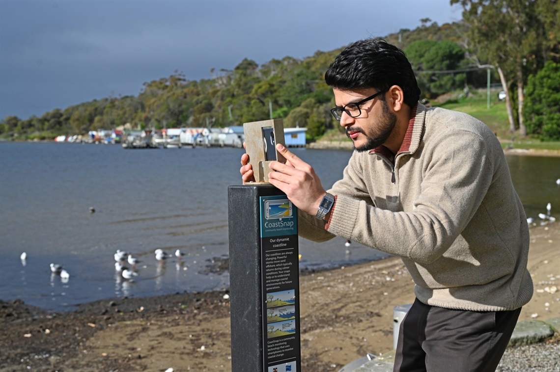
Want to use your phone for good?
Next time you're at Cornelian Bay or Nutgrove Beach set yourself up at one of our new CoastSnap stations.
They let you take a perfectly framed picture of the beach you can then share online using a QR code or via the free CoastSnap App.
Your snapshot will be added to tens of thousands of photos of not just Hobart beaches, but beaches right across Australia.
Your snapshot will become part of a national coastal monitoring database.
Australia's scientists and climate change researchers can then harness the power of all these photos to understand how our coastlines are changing through time.
Those changes include rising sea levels driven by climate change, extreme storms or other factors.
Just think, at any given time of any given day, somebody somewhere is taking a photo with their phone of a beach and uploading it to the internet.
 The CoastSnap station at Cornelian Bay is ready for snap happy action.
How does it work?
CoastSnap started on Sydney's Northern Beaches and has since gone global. There are now more than 600 beach monitoring stations across 35 countries. Two of them are now in Hobart!
CoastSnap is a simple but ingenious design. The cradle holds every phone in the exact same position, ensuring that every snap captures the same shoreline area.
Over time these photos will reveal a constantly moving time-lapse movie of how that beach changes and is impacted by changing climatic conditions.
It will reveal how beaches erode and recover under varying ocean conditions and create an incredible national database of coastal monitoring information.
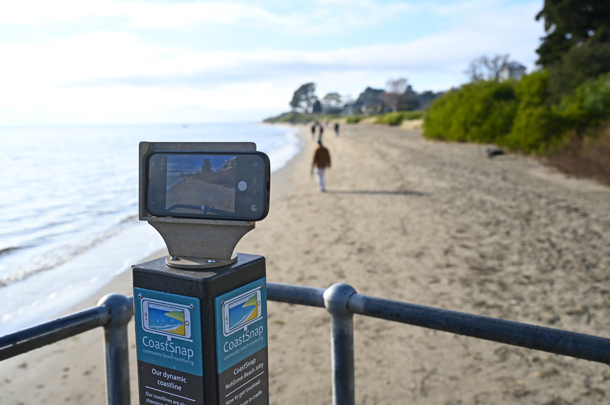 Our second CoastSnap Station has been installed at the popular Nutgrove Beach.
 Changes over time
We chose Nutgrove Beach for one of the CoastSnap stations because the changes already taking place are some of the most evident coastal changes happening within Hobart.
We installed a second station at Cornelian Bay, the Hobart beach most vulnerable to the impacts of sea level rise, wave and tidal action.
Over time your photos taken at Cornelian Bay will reveal how beach erosion is different between the area below the stone wall, and the rest of the beach, which does not have the same level of protection.
Keep an eye on the latest photo uploads from both beaches through the Spotteron website: