Kunanyi / Mt Wellington
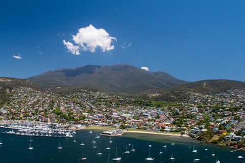
No matter where you are in Hobart you are never far away from the city's beloved mountain, Kunanyi / Mt Wellington.
Rich in wildlife and blanketed in forest, woodlands and alpine environments, it is a natural playground for the people of Hobart.
It hosts an extensive network of walking and mountain bike tracks. These are a great way of exploring the mountain. The tracks take you past waterfalls, through fern glades and gullies, and offer great views of Hobart.
The park is managed by the Wellington Park Management Trust. Visit the Wellington Park website for more information about the park, including:
- facilities
- recreational activities
- permits.