City maps
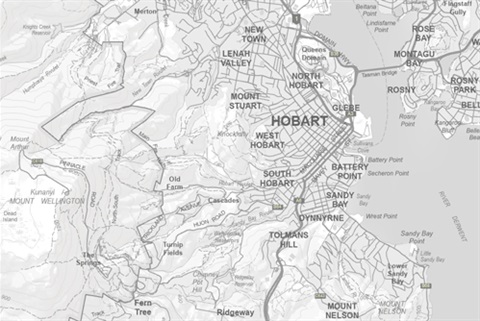
We have a number of interactive online maps of the Hobart local government area.
These maps provide information on local services, facilities and planning controls. They also have the ability to view aerial photography and satellite imagery for the region.
You can also discover nearby parks, playgrounds, sportsgrounds, venues, events and more on our Explore Hobart map.
You can access the maps below, or from our maps webpage.
Map data
City of Hobart map data is available in various formats, as a free download from the following websites: